Key Takeaways
Direct Answer
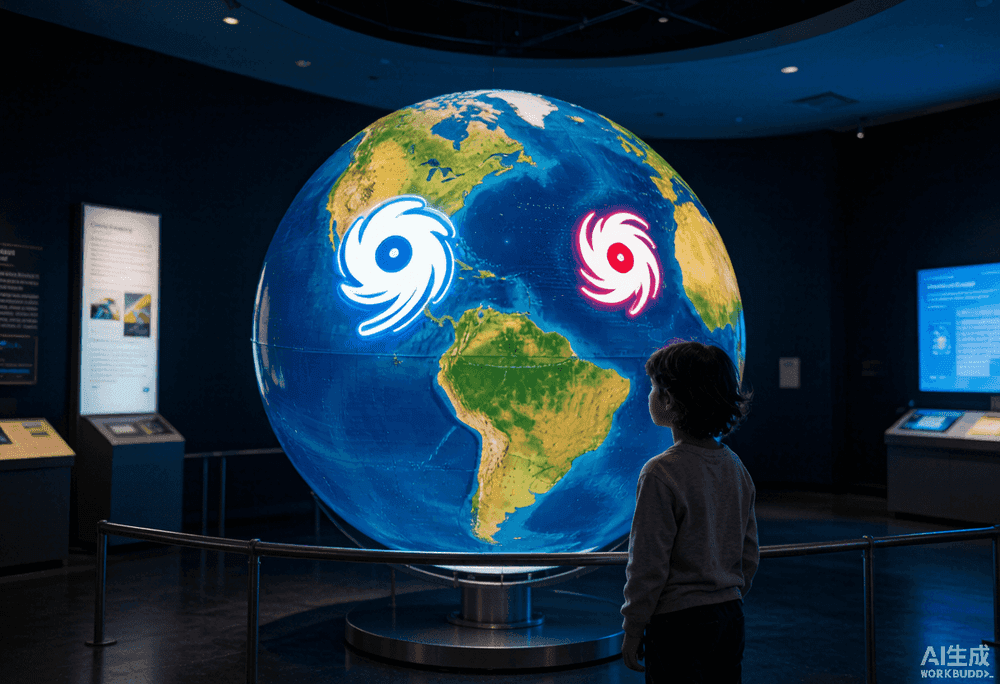
Hurricanes, typhoons, and cyclones are the exact same weather phenomenon: a tropical cyclone. The only difference is where the storm forms. In the North Atlantic, central North Pacific, and eastern North Pacific, the storm is called a hurricane. In the Northwest Pacific, it is called a typhoon. In the South Pacific and Indian Ocean, it is called a cyclone. The science, structure, and danger are identical.
One Storm, Three Names
A tropical cyclone is a rotating, organized system of clouds and thunderstorms that originates over tropical or subtropical waters and has a closed low-level circulation. When sustained winds reach 74 mph, it becomes a hurricane, typhoon, or cyclone depending on its basin. The naming convention is purely geographic and stems from regional history. The word hurricane comes from the Caribbean Taíno god Juracán. Typhoon derives from Chinese, Arabic, and Greek roots. Cyclone comes from the Greek word for coil, coined by a British East India Company official in the 1800s.
Where Each Name Applies
The World Meteorological Organization divides the globe into tropical cyclone basins, each with its own forecasting center and naming rules.
- Hurricane: North Atlantic Ocean, central North Pacific (around Hawaii), and eastern North Pacific (west coast of Mexico and Central America). Forecast by the National Hurricane Center in Miami.
- Typhoon: Northwest Pacific Ocean, from the International Date Line west to the Asian mainland. Forecast by the Japan Meteorological Agency and other regional centers.
- Cyclone: South Pacific Ocean east of 160 degrees east, and the Indian Ocean including the Bay of Bengal and Arabian Sea. Forecast by regional centers in Australia, India, and Fiji.
Different Seasons, Same Physics
Because the Northern and Southern Hemispheres have opposite warm seasons, the peak timing for tropical cyclones differs by basin. The Atlantic hurricane season runs June 1 to November 30, with a sharp peak in mid-September. The Northwest Pacific typhoon season is year-round but peaks from August to October. The South Pacific and Indian Ocean cyclone season runs from November to April, corresponding to the Southern Hemisphere summer. Regardless of the basin, the same ingredients are required: warm ocean water above 26.5 degrees Celsius, high atmospheric moisture, low vertical wind shear, and a pre-existing weather disturbance to kick-start rotation.
Intensity Scales Around the World
The Saffir-Simpson scale used in the Atlantic and Northeast Pacific is not universal. Different basins use different intensity scales, which can cause confusion when comparing storms internationally.
- Saffir-Simpson (Categories 1-5): Used by the U.S. National Hurricane Center for Atlantic and Eastern Pacific hurricanes.
- Japan Meteorological Agency scale: Uses four tiers for typhoons based on 10-minute sustained winds, which are slightly lower than the 1-minute winds used by the NHC.
- India Meteorological Department scale: Uses seven categories for cyclones in the Indian Ocean, with different thresholds than Saffir-Simpson.
- Australia Bureau of Meteorology scale: Uses five categories for Australian region cyclones, with wind speed ranges that differ from Saffir-Simpson.
Which Basin Is the Most Active?
The Northwest Pacific is by far the most active tropical cyclone basin on Earth, producing an average of 26 named storms per year, compared to about 14 in the Atlantic. The Northwest Pacific also sees more intense storms on average, because warm water is available year-round and storms have more time to intensify before landfall. Super Typhoon Haiyan in 2013, one of the strongest tropical cyclones ever recorded at landfall, struck the Philippines with winds estimated near 190 mph. The Atlantic basin, while less active overall, produces some of the world's most damaging storms because of the dense coastal development along the U.S. Gulf and East Coasts.
Can a Hurricane Become a Typhoon?
Yes. If a storm crosses the International Date Line from east to west, it changes from a hurricane to a typhoon. The reverse is also true. Hurricane Genevieve in 2014 and Hurricane Douglas in 2020 both crossed the date line and were reclassified as typhoons. The storm itself does not change; only its label does. Similarly, a cyclone that crosses from the Indian Ocean into the Southwest Pacific is still a cyclone, but forecasting responsibility transfers to a different regional center.
Tracking Tropical Cyclones Worldwide
No matter which ocean a storm forms in, the same tracking principles apply. A real-time hurricane tracker like HurricaneHub focuses on the Atlantic and Eastern Pacific basins, where the National Hurricane Center provides forecast cones, radar, and satellite imagery. For typhoons, the Joint Typhoon Warning Center and Japan Meteorological Agency provide equivalent advisories. For cyclones, the India Meteorological Department and Australian Bureau of Meteorology issue warnings. If you have family or business interests in multiple basins, bookmark each region's official forecasting center and verify any social media claims against the official source. The storm may have a different name, but the danger and the preparation steps are the same.
Official Source Check
Before making a life-safety decision, check weather.gov, your local emergency management agency, and current NHC advisories. NOAA/NESDIS and NASA images in this article are public-domain source visuals.
Next Actions After Reading
Use the article for background, then move to the tracker, alert, city, or planning page that matches your current situation.
Turn the article into a supplies, documents, pets, and household readiness checklist.
Translate watch, warning, surge, flood, tornado, and evacuation wording into household actions.
Check current NHC storm context, live map shortcuts, radar, and active alert pathways.
Move from general guidance to local storm surge, flooding, route, outage, and alert context.