Key Takeaways
Direct Answer
The Saffir-Simpson Hurricane Wind Scale ranks tropical cyclones that have reached hurricane strength into five categories based on maximum sustained wind speed. Category 1 starts at 74 mph; Category 5 begins at 157 mph. The scale estimates potential property damage but does not directly factor in storm surge, rainfall flooding, or tornado risk, all of which can be deadly regardless of category.
Why the Scale Exists and What It Measures
Civil engineer Herbert Saffir and meteorologist Robert Simpson developed the scale in the early 1970s to give emergency managers and the public a quick way to compare hurricane severity. The National Hurricane Center uses it today for every Atlantic and Eastern Pacific hurricane. The scale is purely wind-based: a Category 3 hurricane has sustained winds between 111 and 129 mph, regardless of how wide the storm is, how much rain it carries, or how high the surge will be. This is the scale's most important limitation. A slow-moving Category 1 can dump 30 inches of rain and cause catastrophic inland flooding, while a compact Category 4 can pass through with surprisingly little freshwater flooding.
Category 1: 74 to 95 mph
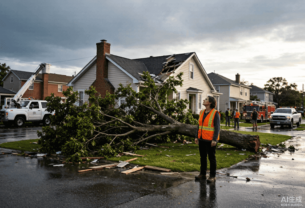
Category 1 hurricanes produce very dangerous winds that will damage roofs, shingles, vinyl siding, and gutters. Large branches will snap, and shallowly rooted trees may topple, especially in saturated soil. Power outages typically last a few hours to several days. Hurricane Beryl in 2024 made landfall in Texas as a Category 1 and left over 2 million customers without power. Storm surge of 4 to 5 feet above normal tide levels is possible.
Category 2: 96 to 110 mph
Category 2 storms are extremely dangerous. Well-constructed frame homes can sustain major roof and siding damage. Many shallowly rooted trees will be snapped or uprooted, blocking roads and taking down power lines. Near-total power loss is expected, and outages can last from several days to weeks. Hurricane Frances in 2004 was a Category 2 at Florida landfall and caused widespread damage across the state despite not being a major hurricane.
Category 3: 111 to 129 mph (Major Hurricane)
Category 3 is the threshold for a major hurricane. Devastating damage will occur: well-built framed homes may incur major damage or removal of roof decking and gable ends. Many trees will be snapped or uprooted. Electricity and water may be unavailable for days to weeks after the storm passes. Hurricane Sally in 2020 made landfall as a Category 2 but was a Category 3 just offshore, and its slow forward speed compounded rainfall flooding far beyond what the wind category alone suggested.
Category 4: 130 to 156 mph
Category 4 hurricanes produce catastrophic damage. Well-built framed homes can lose most of the roof structure and exterior walls. Most trees and power poles will be downed. Power outages can last weeks to months, and the affected area may be uninhabitable for an extended period. Hurricane Ian in 2022 struck Fort Myers Beach, Florida, as a high-end Category 4 with 150 mph winds, destroying entire neighborhoods. Storm surge of 10 to 15 feet or more can sweep well inland.
Category 5: 157 mph or Higher
Category 5 is the highest rating on the scale and means total destruction is likely. A high percentage of framed homes will be destroyed, with total roof failure and wall collapse. Fallen trees and power poles will isolate residential areas. Power outages will last for weeks to months, and most of the affected area will be uninhabitable. Hurricane Michael in 2018 and Hurricane Andrew in 1992 both made landfall as Category 5 storms in Florida. Only four Category 5 hurricanes have made continental U.S. landfall in recorded history.
What the Scale Does Not Tell You
The Saffir-Simpson scale captures wind but leaves out three killers that often matter more.
- Storm surge: A Category 2 hurricane can push a deadly wall of water 10 feet or higher ashore. The NHC issues separate storm surge warnings precisely because wind category alone does not predict surge height.
- Rainfall flooding: A slow-moving Category 1 can produce more inland flooding than a fast-moving Category 4. Hurricane Harvey in 2017 was a Category 4 at landfall, but its catastrophic 60-inch rainfall happened after it weakened to a tropical storm.
- Tornado risk: Hurricane rain bands spawn tornadoes, especially in the right-front quadrant. These tornadoes can occur hundreds of miles from landfall and are not reflected in the category number.
How to Use the Scale During the 2026 Atlantic Hurricane Season
When a real-time hurricane tracker shows a storm approaching your area, use the Saffir-Simpson category as a starting point, not the whole story. Check the NHC forecast cone for the projected intensity at landfall, then look at the separate storm surge warning zones and rainfall estimates. If your area is under a hurricane warning, follow evacuation orders regardless of the category number. A Category 1 can still be deadly if you are in a storm surge zone. Bookmark HurricaneHub to track storm intensity changes in real time and pair the category information with surge alerts, radar, and satellite imagery on a single map.
Official Source Check
Before making a life-safety decision, check weather.gov, your local emergency management agency, and current NHC advisories. NOAA/NESDIS and NASA images in this article are public-domain source visuals.
Next Actions After Reading
Use the article for background, then move to the tracker, alert, city, or planning page that matches your current situation.
Turn the article into a supplies, documents, pets, and household readiness checklist.
Translate watch, warning, surge, flood, tornado, and evacuation wording into household actions.
Check current NHC storm context, live map shortcuts, radar, and active alert pathways.
Move from general guidance to local storm surge, flooding, route, outage, and alert context.