Key Takeaways
Direct Answer
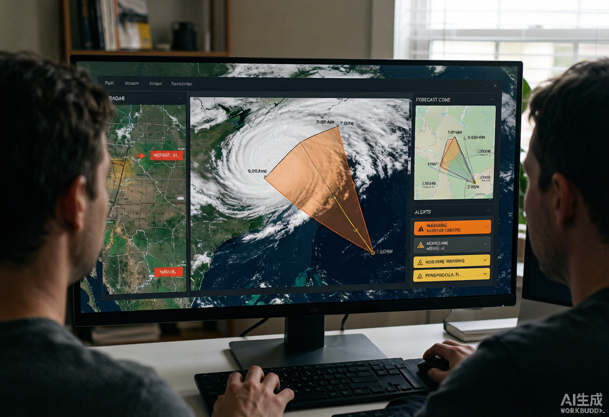
Real-time hurricane tracking combines NOAA satellite imagery, NWS Doppler radar, and Hurricane Hunter aircraft data into a single live picture of each storm. During the 2026 Atlantic hurricane season, households can use a real-time hurricane tracker like HurricaneHub to watch storm cones, radar, and extreme weather alerts on one map, then pair that context with official weather.gov advisories.
2026 Atlantic Hurricane Season: Where We Are in August
By early August, the Atlantic basin is running at full stride. The statistical peak of activity falls around September 10, but August already produces more named storms than June and July combined. The 2026 seasonal outlook called for above-normal activity, largely driven by warm sea-surface temperatures across the Main Development Region and a likely La Nina transition in autumn.
How Real-Time Hurricane Tracking Works
A modern real-time hurricane tracker layers three sensor systems: geostationary satellites (GOES-East) that image the Western Hemisphere every 5 to 10 minutes, land-based NEXRAD Doppler radar that detects rainband rotation and tornado-scale circulations, and Hurricane Hunter aircraft that drop instruments directly through the storm to measure pressure, wind, and temperature.
- Satellite GeoColor imagery reveals cloud-top temperatures as a proxy for storm intensity.
- Doppler radar covers rain bands and tornado circulations within range of land.
- Hurricane Hunter recon flights provide the most reliable intensity data over open ocean.
- Buoys and Argo floats report sea-surface temperature and wave height as fuel indicators.
Reading Extreme Weather Alerts
NWS and NHC warnings follow a spectrum: a tropical storm watch means winds of 39 to 73 mph are possible within 48 hours, while a hurricane warning means sustained winds of 74 mph or higher are expected within 36 hours. The Saffir-Simpson scale rates hurricanes by wind only and does not capture storm surge, rainfall flooding, or tornado risk, which are the three deadliest hurricane hazards.
- Tropical storm watch: review your plan and fuel vehicles.
- Hurricane watch: prepare evacuation bags and secure property.
- Hurricane warning: complete protective action or evacuate if ordered.
- Wireless Emergency Alerts on your phone are authoritative until verified on weather.gov.
How to Track Hurricanes at Home
You do not need a meteorology degree to act like one. Pick one official source and one mapping tool, save the NHC cone every six hours to track drift direction, watch central pressure drops below 980 mb as a strengthening signal, and monitor your local NWS office feed for county-level tornado and flash flood warnings.
Use HurricaneHub for the Live Picture
When NHC advisories update every three to six hours, HurricaneHub aggregates them onto one map: forecast cones, real-time radar for the contiguous U.S., NWS active alerts per state, and a true-color satellite loop refreshed every ten minutes. Bookmark HurricaneHub for the rest of the 2026 Atlantic hurricane season.
Official Source Check
Before making a life-safety decision, check weather.gov, your local emergency management agency, and current NHC advisories. NOAA/NESDIS and NASA images in this article are public-domain source visuals.
Next Actions After Reading
Use the article for background, then move to the tracker, alert, city, or planning page that matches your current situation.
Turn the article into a supplies, documents, pets, and household readiness checklist.
Translate watch, warning, surge, flood, tornado, and evacuation wording into household actions.
Check current NHC storm context, live map shortcuts, radar, and active alert pathways.
Move from general guidance to local storm surge, flooding, route, outage, and alert context.