HurricaneHub blog

Hurricane Radar vs. Satellite: What Each View Shows

Understand the difference between hurricane radar and satellite views, when each is useful, and why neither replaces official NOAA/NWS alerts.

Published 2026-08-05 · Last modified 2026-08-05
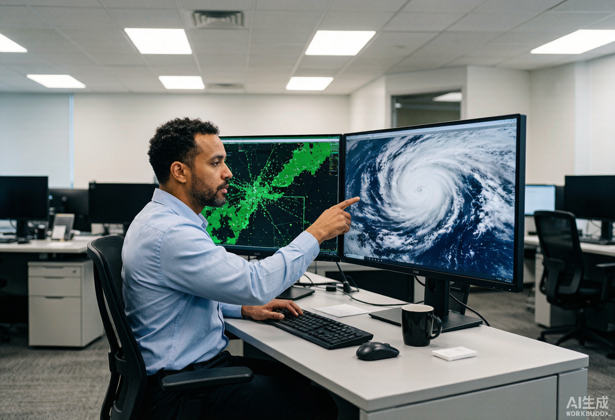
A meteorologist compares a green Doppler radar display and a satellite cloud spiral on dual monitors.

Key Takeaways

Direct Answer

Radar is best for recent precipitation and rain bands where radar coverage exists. Satellite is best for cloud structure, cold cloud tops, and tropical organization over open water. Both are context tools, not official evacuation guidance.

When Radar Helps

Radar is useful when precipitation is near land or within ground radar coverage.

  • Watch rain bands and squall lines.
  • See where stronger precipitation is moving.
  • Pair radar with tornado, flood, and wind warnings.
  • Expect weaker coverage over parts of open ocean.

When Satellite Helps

Satellite imagery is useful for open-water tropical systems and broad cloud organization.

  • View storms before they reach radar range.
  • Compare cloud-top cooling and organization.
  • Watch the Gulf, Caribbean, Bahamas, and Atlantic at a basin scale.
  • Use official NHC advisories for intensity, forecast track, and warnings.

Best Use on HurricaneHub

Open the radar page, switch between RainViewer radar and GOES-East infrared satellite, then use the NWS alert panel and NHC storm markers to decide what official source to read next.

Official Source Check

Before making a life-safety decision, check weather.gov, your local emergency management agency, and current NHC advisories. NOAA/NESDIS and NASA images in this article are public-domain source visuals.

Next Actions After Reading

Use the article for background, then move to the tracker, alert, city, or planning page that matches your current situation.

Hurricane FAQ

Is radar or satellite better for hurricane tracking?

Neither is always better. Satellite is often better over open ocean; radar is better for nearby rain bands and precipitation details where radar coverage exists.

Can I use radar to decide whether to evacuate?

No. Use radar for context, but evacuation decisions come from official local instructions, evacuation zones, and weather.gov alerts.