Key Takeaways
Direct Answer
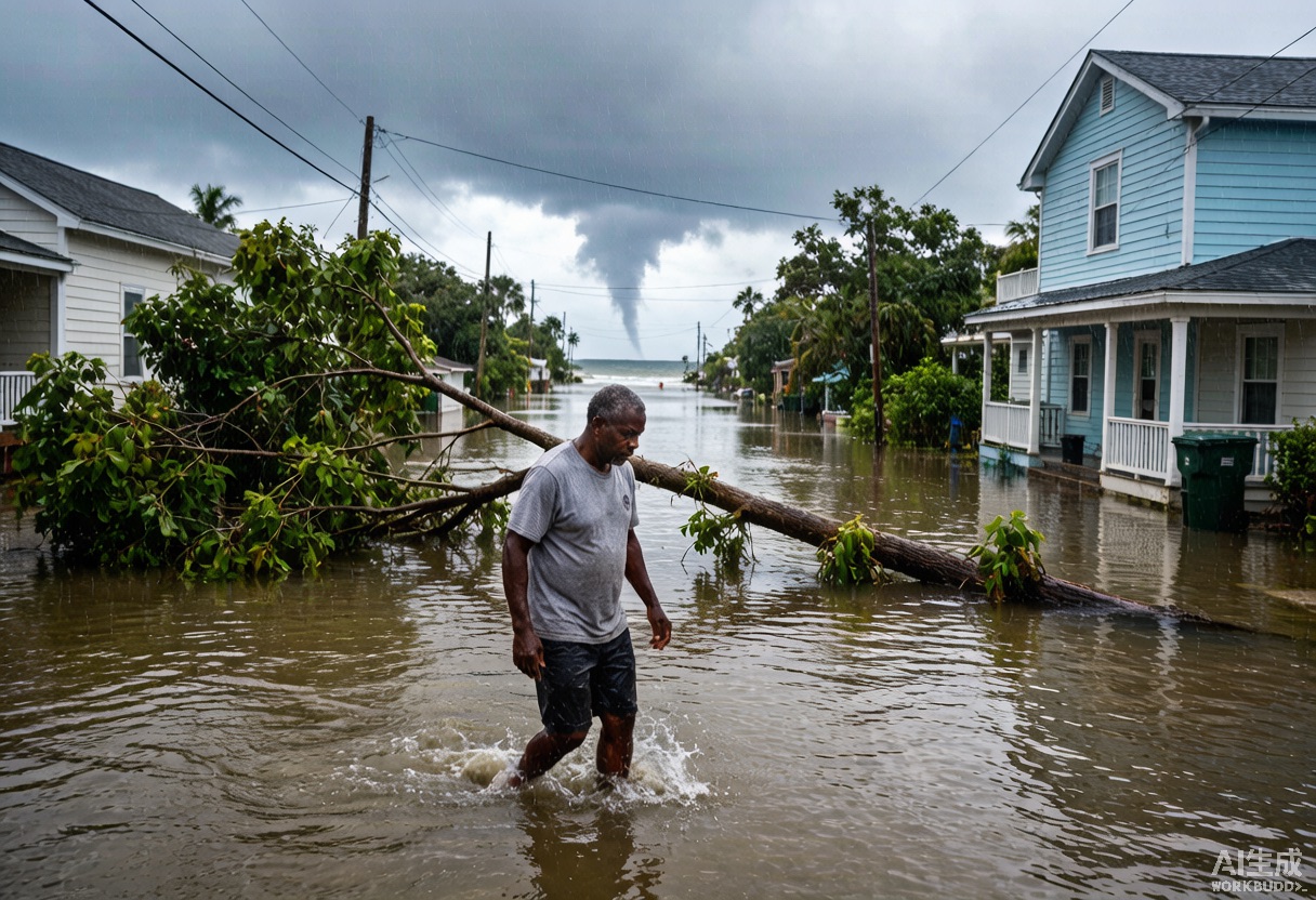
Water, not wind, causes roughly 90 percent of hurricane-related deaths. After a hurricane makes landfall, inland flooding and tornado outbreaks in rain bands continue to threaten communities hundreds of miles from the coast. Real-time hurricane tracking and extreme weather alerts are just as critical inland as they are on the shoreline.
The Hidden Killer After Landfall: Inland Flooding
Storm surge dominates coastal headlines, but inland flooding—driven by extreme rainfall on saturated ground—causes more fatalities in most hurricane seasons. When a hurricane moves inland, it often slows down. Warm, moisture-laden air continues to feed the system even after the eye collapses. Orographic lifting along mountains and frontal boundaries can squeeze out rainfall totals that double or triple the original coastal forecast. Hurricane Harvey dropped over 60 inches of rain in Texas after stalling inland. Hurricane Helene in 2024 caused catastrophic Appalachian flooding hundreds of miles from landfall.
How Inland Flood Warnings Differ from Coastal Surge Alerts
Coastal residents watch storm surge warnings and evacuation zones. Inland residents need a different alert vocabulary. A Flash Flood Warning means life-threatening flooding is imminent or already occurring—the most dangerous inland alert. A River Flood Warning means rivers and streams are expected to exceed flood stage, often hours or days after the heaviest rain. The Weather Prediction Center also issues Excessive Rainfall Outlooks for areas where rainfall rates could overwhelm drainage systems. Unlike surge, which arrives in hours, inland flooding can build over days. A real-time hurricane tracker that shows rainfall accumulation forecasts—not just the storm center—is essential for inland safety.
Tornado Outbreaks Inside Hurricane Rain Bands
Every major hurricane that makes landfall in the United States spawns tornadoes. The right-front quadrant—where wind shear and low-level spin are maximized—can produce dozens of tornado warnings across a 48-hour window. Hurricane Ivan in 2004 generated 120 tornadoes across nine states, from Florida to Pennsylvania. Hurricane Katrina produced 57 confirmed tornadoes. These are not weak spin-ups; hurricane-spawned tornadoes can reach EF2 intensity and develop with almost no visual warning because they are wrapped in heavy rain.
Reading Hurricane-Spawned Tornado Alerts
The tornado warning system works the same way during a hurricane as it does during a spring outbreak, but the context is different. Tornado warnings inside hurricane rain bands often have shorter lead times—sometimes five to ten minutes. Doppler radar can detect rotation inside rain bands, but debris signatures are harder to confirm when rain clutter is intense. Nighttime tornadoes during hurricanes are especially dangerous because people have lost power and cannot see or hear warnings. This is why extreme weather alerts must remain active on your phone even after the hurricane 'passes' your location. The storm may be 100 miles away, but its outer rain bands can still trigger tornado warnings in your county.
Why Real-Time Hurricane Tracking Continues Inland
A common misconception is that a hurricane 'ends' at landfall. In reality, the National Hurricane Center continues issuing advisories until the system dissipates or transitions to post-tropical. These advisories include inland rainfall forecasts, tornado risk areas, and wind field maps extending hundreds of miles from the center. Modern real-time hurricane tracking tools use ground-based NEXRAD radar to track rain band rotation and tornado circulations, satellite infrared imagery to monitor remaining convection, and surface weather station networks to report actual wind gusts, pressure falls, and rainfall totals. For inland residents, watching the storm's track after landfall is as important as watching the approach. A hurricane that slows down over Tennessee can produce more local rainfall in 24 hours than a fast-moving Category 3 that crosses Florida in six hours.
Tools for Inland Extreme Weather Alerts
Inland households should configure multiple alert layers. Wireless Emergency Alerts (WEA) on every smartphone provide tornado and flash flood warnings. NOAA Weather Radio with battery backup works when cell towers fail. Local NWS office feeds deliver county-specific warning language. A real-time hurricane tracker like HurricaneHub overlays NWS active alerts, radar, and satellite on a single map. Do not rely on coastal landfall as your 'all clear.' Wait for your local National Weather Service office to confirm that all warnings have expired for your county.
Inland Safety Checklist During Hurricane Remnants
If a hurricane or tropical storm is tracking inland toward your region, complete these actions before the rain arrives:
- Check your flood zone, even if you live hundreds of miles from the coast. FEMA flood maps and local watershed data identify flash-flood-prone areas.
- Move vehicles to higher ground if your neighborhood has drainage history.
- Charge backup batteries and medical devices before power lines start failing.
- Pack a go-bag with the same urgency as coastal residents. Inland flash floods can force evacuations with little notice.
- Identify interior rooms on the lowest floor for tornado warnings—typically a windowless bathroom or closet.
- Monitor upstream rainfall. If a storm drops 10 inches of rain in the mountains above your town, the river may not crest for 12 to 24 hours.
Track the Full Storm Lifecycle with HurricaneHub
HurricaneHub is built to track hurricanes from first advisory to final dissipation. Our real-time hurricane tracker overlays GOES-East satellite imagery, RainViewer Doppler radar, NWS active alerts by state, and a live alert heat map so you can see inland tornado and flood warnings as they appear—not just coastal wind forecasts. During the 2026 Atlantic hurricane season, bookmark HurricaneHub and keep the radar page open even after a storm makes landfall. The deadliest phase of a hurricane often happens where the cameras have stopped rolling. Use real-time hurricane tracking and extreme weather alerts to stay ahead of inland flooding, tornadoes, and power outages until the final warning expires.
Official Source Check
Before making a life-safety decision, check weather.gov, your local emergency management agency, and current NHC advisories. NOAA/NESDIS and NASA images in this article are public-domain source visuals.
Next Actions After Reading
Use the article for background, then move to the tracker, alert, city, or planning page that matches your current situation.
Turn the article into a supplies, documents, pets, and household readiness checklist.
Translate watch, warning, surge, flood, tornado, and evacuation wording into household actions.
Check current NHC storm context, live map shortcuts, radar, and active alert pathways.
Move from general guidance to local storm surge, flooding, route, outage, and alert context.