Key Takeaways
Direct Answer
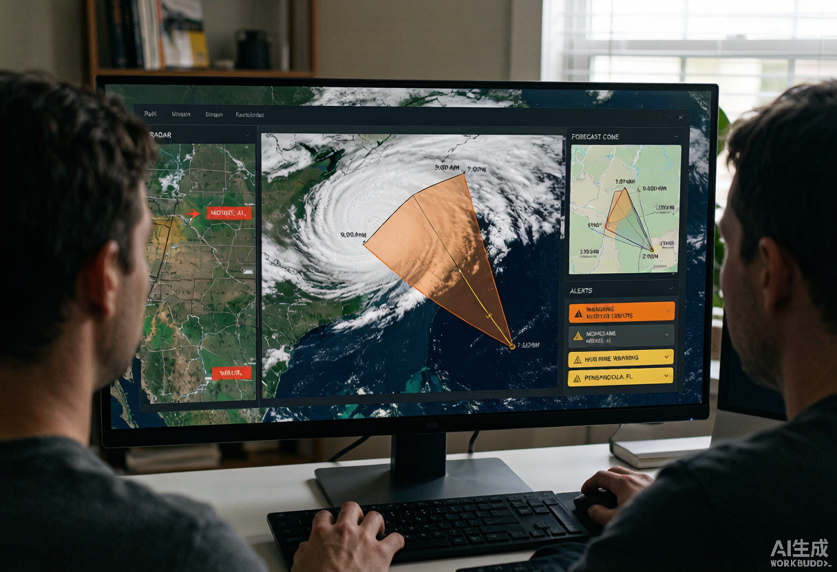
A live hurricane tracker helps you connect official storm data to your location: forecast cone, storm position, radar, satellite, watches, warnings, surge context, and local preparedness paths. It should never override the National Hurricane Center, weather.gov, or local emergency management orders. Use it to understand the situation earlier and act on official instructions faster.
Set Your Location First
Start with the place you actually need to protect: home, work, school, family, or a coastal property. A hurricane's center can be far from the hazard that matters to you, so location context helps connect the map to alerts, evacuation zones, city pages, and household planning tools.
Read the Cone as Uncertainty, Not a Safety Line
The forecast cone describes possible center-track error; it does not show every impact. Wind, rain, surge, and tornado risk can extend outside the cone. Use the cone to understand forecast uncertainty, then check separate alert, surge, radar, and rainfall information.
Compare Watches, Warnings, and Local Alerts
A tracker is most useful when it surfaces official watches and warnings near your area. Read the alert name and the issuing office, then open the full weather.gov alert text for details. A warning or evacuation order should move you from watching the map to following the plan.
Check Surge, Flooding, Wind, and Tornado Context
Do not focus only on the storm center. Surge, rainfall flooding, tropical-storm-force winds, and tornado warnings can drive very different decisions. Use the live tracker with radar, city tracker pages, and the alert action decoder to understand which hazard is most relevant.
Build a Tracking Routine
In calm weather, learn the interface and save key pages. When a storm forms, check official advisories and tracker context at a steady rhythm. When a watch or warning appears, increase attention and finish planning steps before power, roads, or data service become unreliable.
Share One Source of Truth With Your Household
A tracker reduces confusion only if everyone is looking at the same information. Share the live tracker, city tracker, and family communication plan with household members so decisions are based on current official context rather than scattered screenshots or rumors.
Use HurricaneHub Tools After the Map
After checking the live tracker, move to the preparedness checklist, local risk plan, storm distance calculator, city trackers, and alert action decoder. That path turns map-reading into concrete planning without pretending the map itself is an evacuation order.
Official Source Check
Use the National Hurricane Center for tropical cyclone advisories, weather.gov for local watches and warnings, and local emergency management for evacuation instructions. HurricaneHub summarizes and links context, but official sources control life-safety decisions.
Official Source Check
Before making a life-safety decision, check weather.gov, your local emergency management agency, and current NHC advisories. NOAA/NESDIS and NASA images in this article are public-domain source visuals.
Next Actions After Reading
Use the article for background, then move to the tracker, alert, city, or planning page that matches your current situation.
Turn the article into a supplies, documents, pets, and household readiness checklist.
Translate watch, warning, surge, flood, tornado, and evacuation wording into household actions.
Check current NHC storm context, live map shortcuts, radar, and active alert pathways.
Move from general guidance to local storm surge, flooding, route, outage, and alert context.