Step 1
Check Active Surge Alerts
Use the storm surge checker to see whether NWS has an active storm surge watch or warning near a ZIP code.
Water risk hub
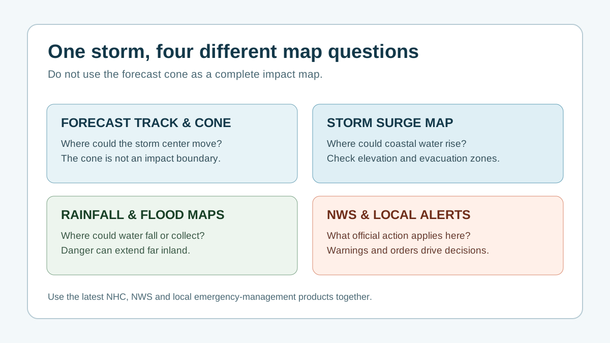
A storm surge map helps explain coastal water risk, but the practical decision comes from active NWS alerts, local evacuation zones, tide and route context, and official local instructions.
hurricane storm surge map, storm surge warning map, storm surge tracker
Step 1
Use the storm surge checker to see whether NWS has an active storm surge watch or warning near a ZIP code.
Step 2
Storm surge is separate from hurricane category and can vary with track, wind direction, tide, bays, rivers, canals, and elevation.
Step 3
Use local evacuation zones and official orders to decide whether water risk affects your route, shelter plan, or timing.
Map interpretation
Two nearby neighborhoods can have very different water exposure because of elevation, shoreline shape, rivers, bays, canals, barriers, and road access.
Category trap
The Saffir-Simpson category describes sustained wind speed. Water can still be dangerous in a lower-category storm if the track, size, tide, and coastline setup are unfavorable.
Related hurricane resources
Check active NWS storm surge alerts near a ZIP code.
Learn how surge forecasts are created and interpreted.
Understand why surge warnings and wind warnings mean different hazards.
Build a local plan that includes water, wind, outage, and route context.
Official-source check
HurricaneHub is a planning and interpretation layer. During an active threat, confirm storm advisories, watches, warnings, evacuation orders, shelters, and road restrictions with official sources.
Local planning
After reading this hub, the most useful next page is usually a city tracker, state tracker, alert page, or household tool that matches the place you care about.
Use it to understand coastal water risk, then verify active NWS alerts, local evacuation zones, official orders, and route conditions before acting.
Yes. Surge depends on storm size, track, wind direction, tide, shoreline shape, and local elevation, not only the hurricane category.
No. HurricaneHub organizes official-source context and tools, but NHC, NWS, and local emergency management remain the sources to verify during an active threat.
Check your official local warning first, compare it with the current NHC storm position, then decide whether your home, route, or medical needs require earlier action than the county deadline.
NHC advisories usually update on a cycle set by the storm situation, while NWS alerts can change at any time. HurricaneHub caches public feeds for short windows to reduce latency without hiding official updates.
No. HurricaneHub summarizes official data for decision support, but evacuation orders, shelter rules, road closures, and rescue instructions come from local emergency management and the National Weather Service.